
Vehicle-mounted road inspection at traffic speed
Mobile road condition monitoring and automated asset inspection
The Gap
Road asset inspection and maintenance are often labour-intensive, time-consuming, and reactive. City teams rely on manual audits, visual inspections, resident reports, and outdated imagery, limiting visibility into current road issues and maintenance priorities.
Apollo RoadSight is a road monitoring solution that automates inspection, asset tracking, and structured reporting for roadway infrastructure. Using updated field data and AI-assisted analysis, it helps municipalities monitor road assets more efficiently, optimize resources, and support proactive maintenance planning.
Turn vehicle-mounted imagery and sensor data into pavement conditions, asset inventories, and geospatial maintenance insights.

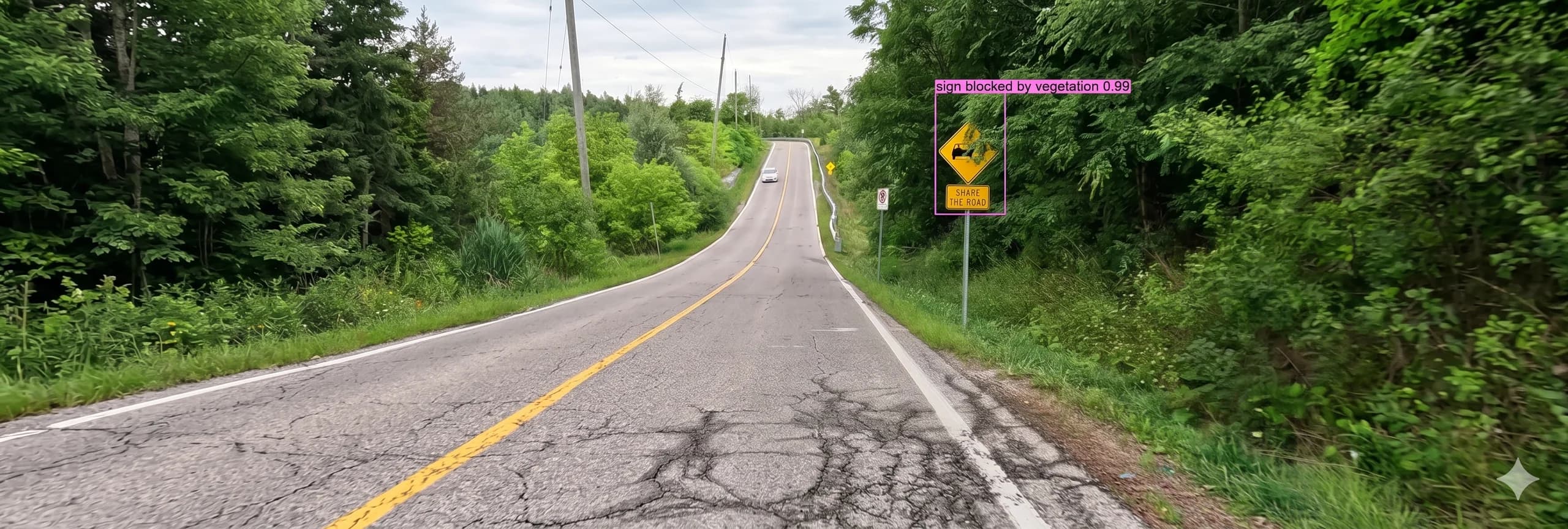
Detects and classifies cracks, potholes, surface degradation, and vegetation growth along roadway assets.

Automatically identifies, classifies, and maps traffic signs with condition and type attributes.

Evaluates lane markings, visibility, and wear for compliance and maintenance planning.

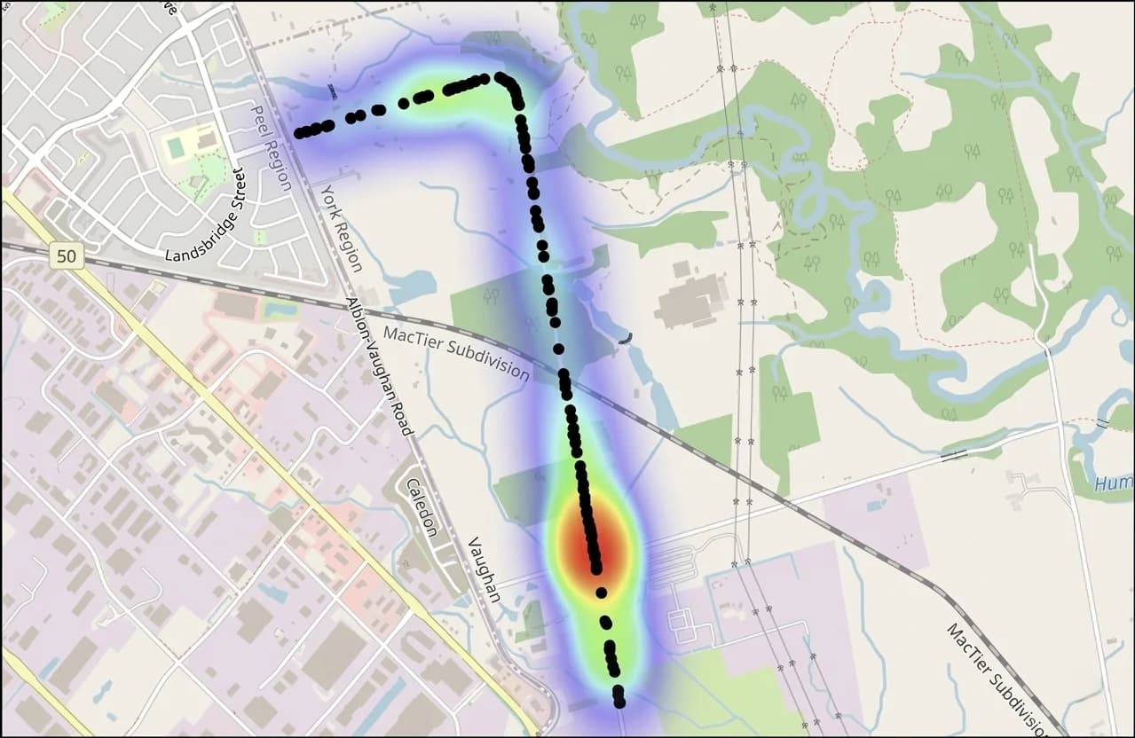
Maps GPS-stamped assets and defects for seamless GIS integration, review, and tracking.

Extracts and catalogs road assets such as catch basins, hydrants, and street infrastructure.

Processes continuous video data across large networks for consistent, repeatable inspections.
Review condition patterns and inspection coverage across the network to prioritize field verification, maintenance planning, and reporting.
How it works
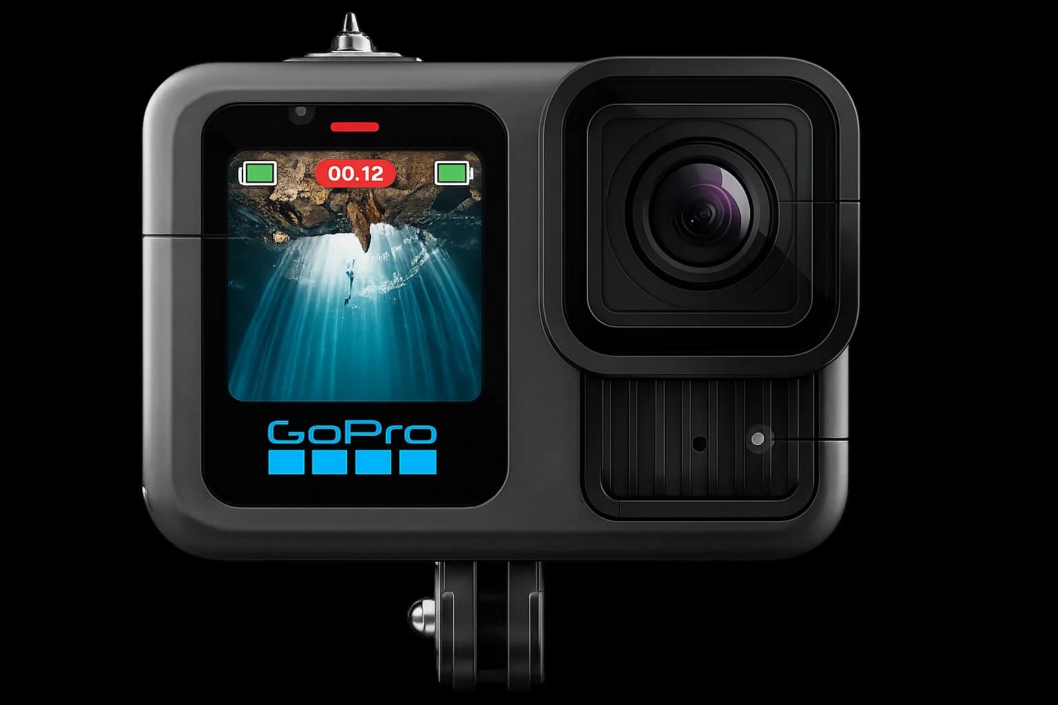
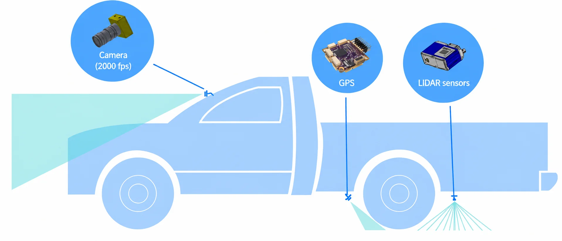
Capture road data continuously using vehicle-mounted cameras, GPS, and LiDAR-assisted sensing during live patrols
Process and analyze data in the cloud using AI to identify road conditions, assets, and infrastructure elements
Detect and classify defects across issues like cracks, potholes, pavement wear, signage condition, vegetation, and pavement markings
Generate structured outputs with GPS-stamped insights for maintenance planning, reporting, and GIS integration
Vehicle-mounted road inspection at traffic speed

Our AI analyzes road data to detect defects and surface conditions
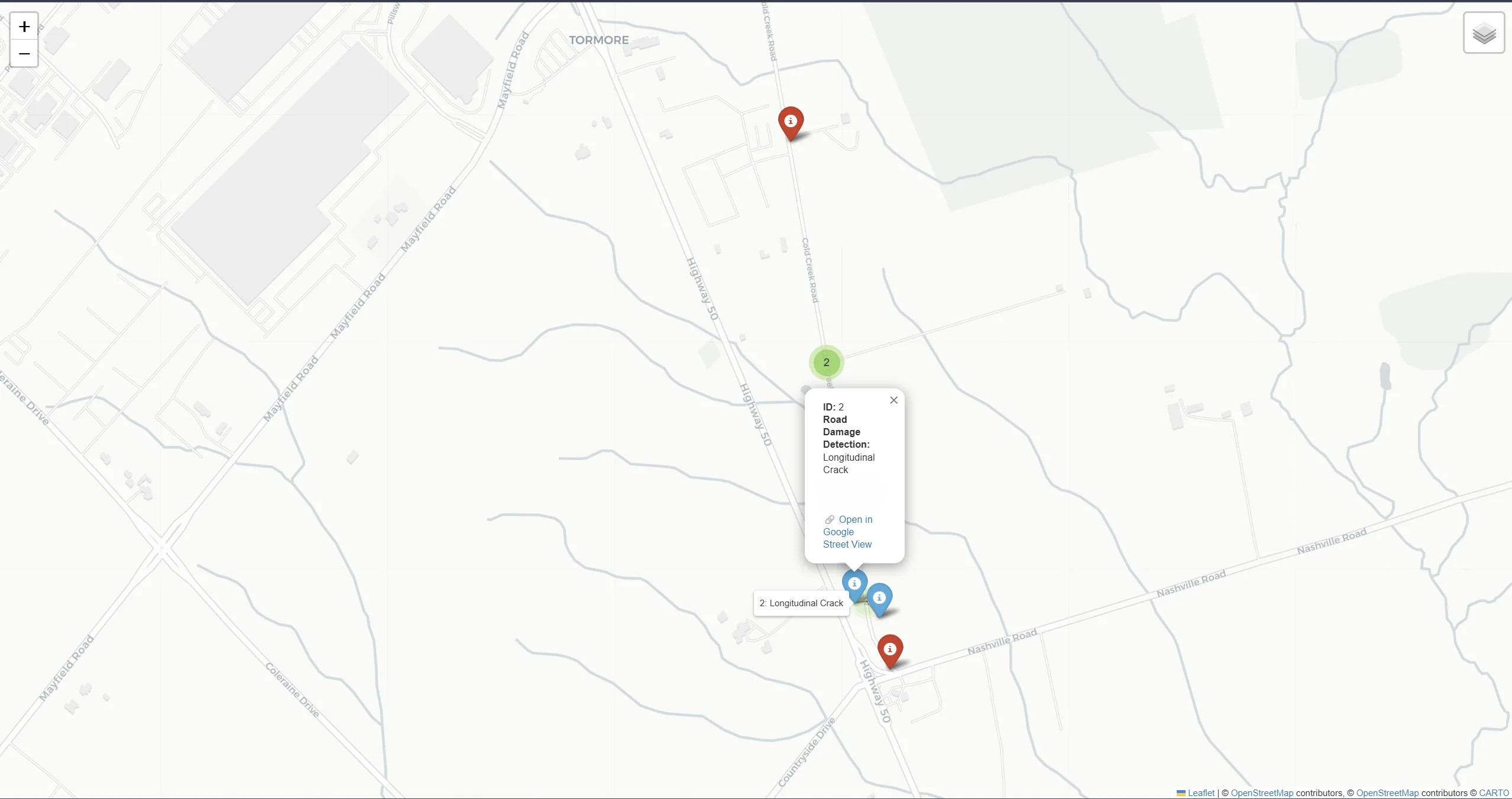
Visualize road conditions and plan maintenance activities

Structured data export to asset management, maintenance, and GIS platforms
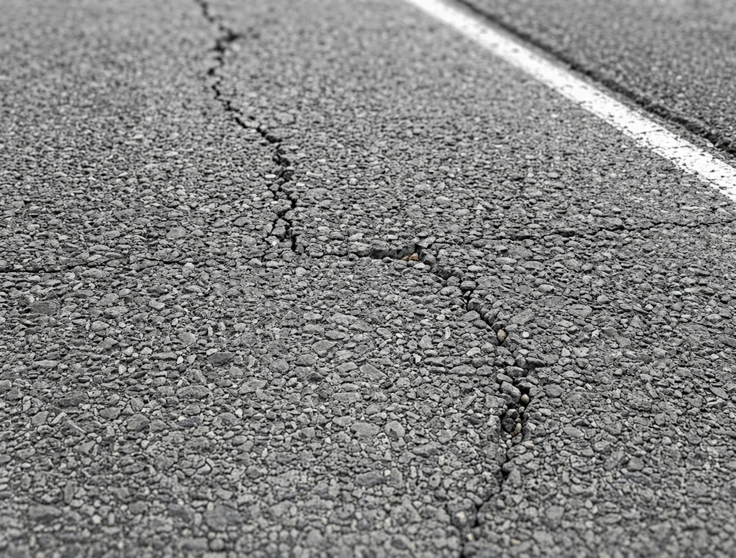
Longitudinal Cracks
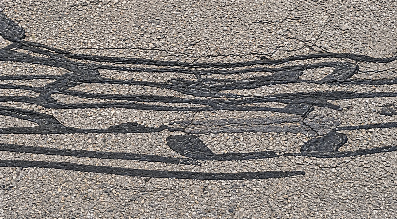
Patches
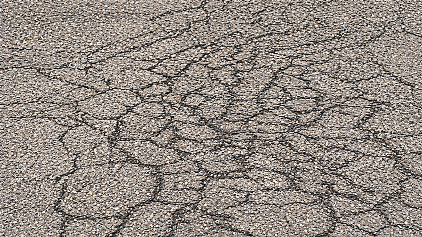
Alligator Cracks
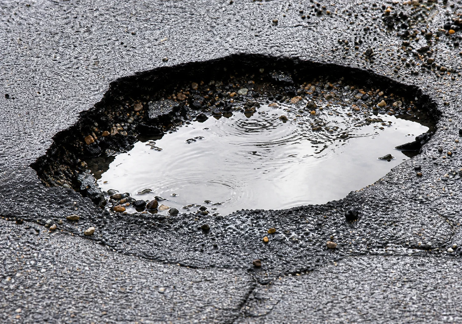
Potholes
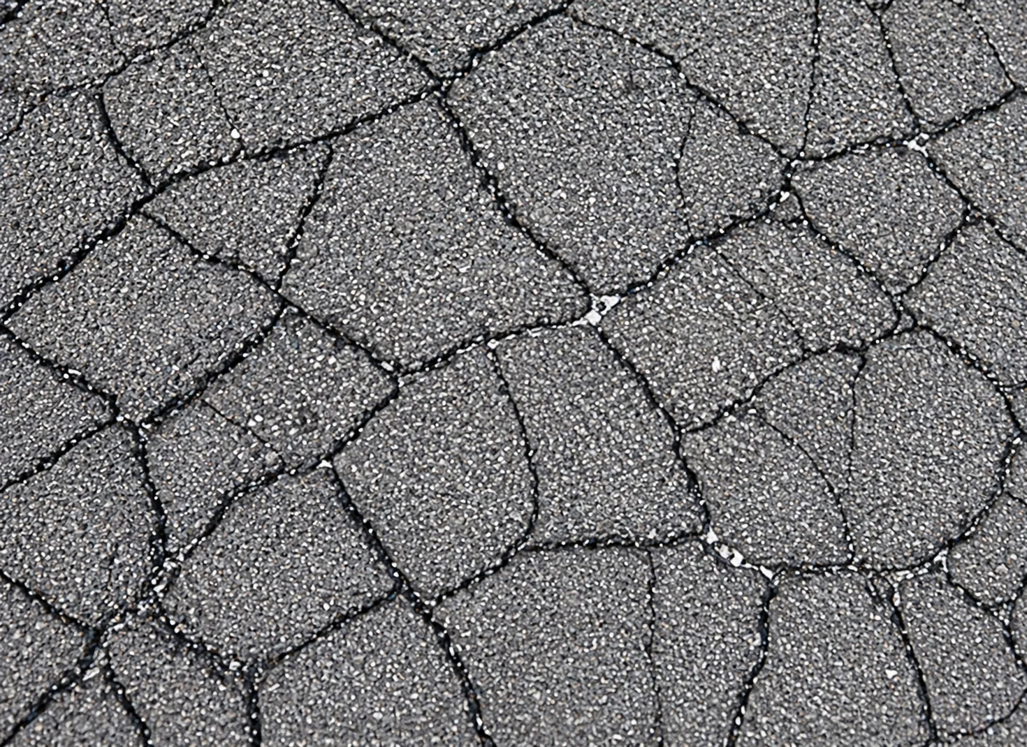
Block Cracks
Validated on real-world road network data from live patrol operations
Reduces manual inspections through automated, AI-driven detection
Enables continuous, network-wide road monitoring at traffic speed
Talk to the ApoSys team about deploying Apollo RoadSight for continuous pavement inspection, asset inventories, and GIS-ready maintenance planning.
